Meteorological Drivers and Agricultural Drought Diagnosis
Deskripsi:
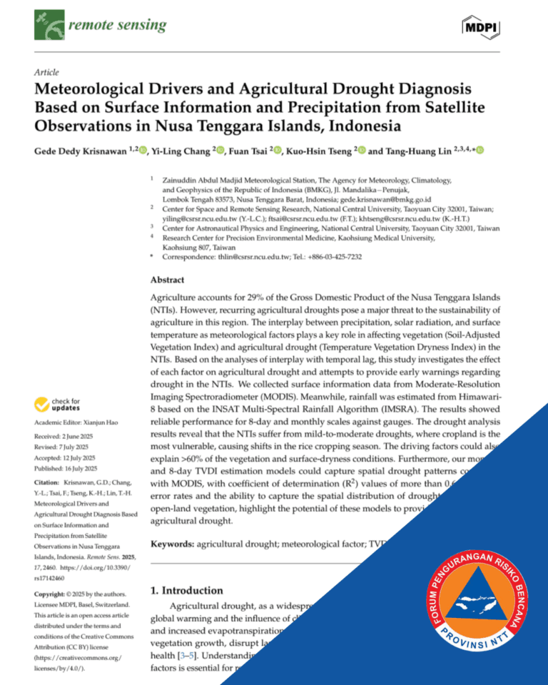
The 2025 article, “Meteorological Drivers and Agricultural Drought Diagnosis Based on Surface Information and Precipitation from Satellite Observations in Nusa Tenggara Islands, Indonesia,” addresses the critical issue of recurring agricultural droughts in the Nusa Tenggara Islands (NTIs), a region where agriculture accounts for nearly 29% of the Gross Domestic Product (GDP). The study employs satellite observations, utilizing Himawari-8 data to estimate precipitation (HRE) and Moderate-Resolution Imaging Spectroradiometer (MODIS) data for surface information like Land Surface Temperature (LST) and vegetation conditions (SAVI), aiming to understand the interplay of meteorological factors and provide early warnings regarding drought. The analysis revealed that NTIs are prone to mild-to-moderate droughts, with cropland identified as the most vulnerable vegetation type, causing disruptions like shifts in the rice cropping season. Furthermore, the research found that LST is the dominant factor affecting vegetation dynamics, exhibiting a rapid response (no temporal lag), whereas precipitation and solar radiation show a delayed effect of 1–2 months. By incorporating these time-lag effects, the developed Multiple Linear Regression (MLR) models for monthly and 8-day prediction successfully captured spatial drought patterns consistent with MODIS reference data, achieving a coefficient of determination ($R^{2}$) of more than 0.64, thereby highlighting the potential of these models as accessible tools for predicting agricultural drought in the NTIs.

